
• Norwich Union Towers Mama Ngina St, Nairobi
  • Info@kendigi.co.ke
  • Office Hours: 8:00 AM – 5:00 PM

GIS Services in Kenya for Smarter Mapping, Planning and Decision-Making

Kendigi Media provides GIS services in Kenya for organisations that need to turn location data into practical maps, dashboards, WebGIS platforms and decision-support systems.

We help governments, NGOs, businesses, development organisations and institutions collect, analyse, visualise and use geospatial data more effectively. Whether you need GIS mapping, spatial analysis, GeoAI, remote sensing, data dashboards, WebGIS development or GIS training, our solutions are built to support real decisions.

Shape

Our GIS Services in Kenya

What We Bring To You

GIS Mapping & Spatial Analysis

We create accurate digital maps and spatial analysis outputs that help organisations understand patterns, risks, gaps and opportunities. Our GIS mapping services can support land use planning, infrastructure mapping, project monitoring, facility mapping, asset mapping, service coverage analysis and location-based reporting. Best for: county governments, NGOs, planning teams, infrastructure projects and organisations managing field data.

WebGIS & GeoPortal Development

We build interactive WebGIS platforms and geoportals that allow teams to view, search, manage and share spatial data online. Instead of relying on static maps or scattered GIS files, organisations can use a central mapping platform with layers, filters, dashboards, reports, user roles and data access tools. Best for: land systems, environmental programmes, government portals, project monitoring platforms and spatial data sharing.

GeoAI & Location Intelligence

We help organisations use GeoAI, spatial analytics and location intelligence to identify patterns, predict risks, detect hotspots and support smarter planning. This service is useful where organisations need more than basic mapping. It helps teams understand where action is needed and why certain locations matter. Best for: health risk mapping, market expansion, resource allocation, risk analysis, service gap mapping and predictive planning.

Remote Sensing & Earth Observation

We use satellite imagery and remote sensing data to support environmental monitoring, agriculture, land use analysis, vegetation monitoring, climate resilience, catchment management and natural resource planning. Remote sensing makes it possible to monitor large areas more efficiently and combine satellite insights with GIS analysis. Best for: agriculture, environment, conservation, climate projects, land monitoring and development programmes.

Data Dashboards & Visualisation

We design GIS dashboards that combine maps, charts, indicators, filters and reports into one clear decision-making interface. A dashboard can help your team track project sites, assets, risk zones, service coverage, field reports, land records, health data or environmental indicators. Best for: managers, programme teams, field operations, donor reporting, public agencies and decision-makers.

GIS Training & Capacity Building

We provide practical GIS training and capacity building for teams that want to collect, manage, analyse and use geospatial data confidently. Training can be customised for beginners, technical teams, field officers, planners, researchers, M&E teams and managers. Best for: organisations building internal GIS capacity, county teams, NGOs, universities, field teams and data officers.

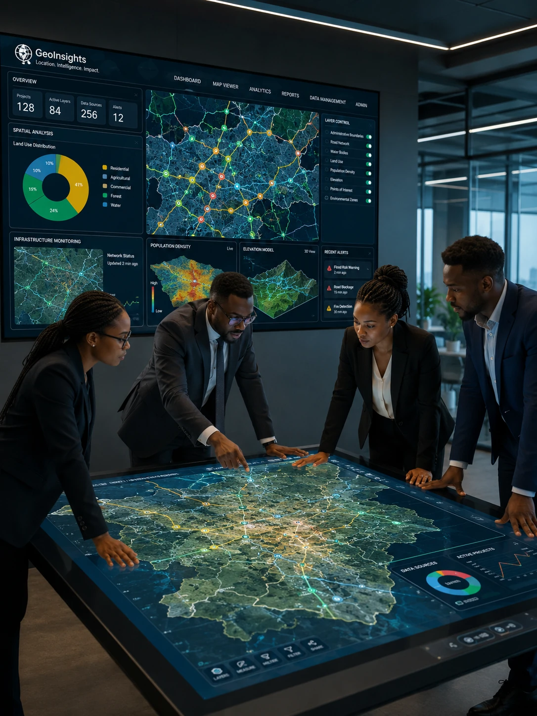
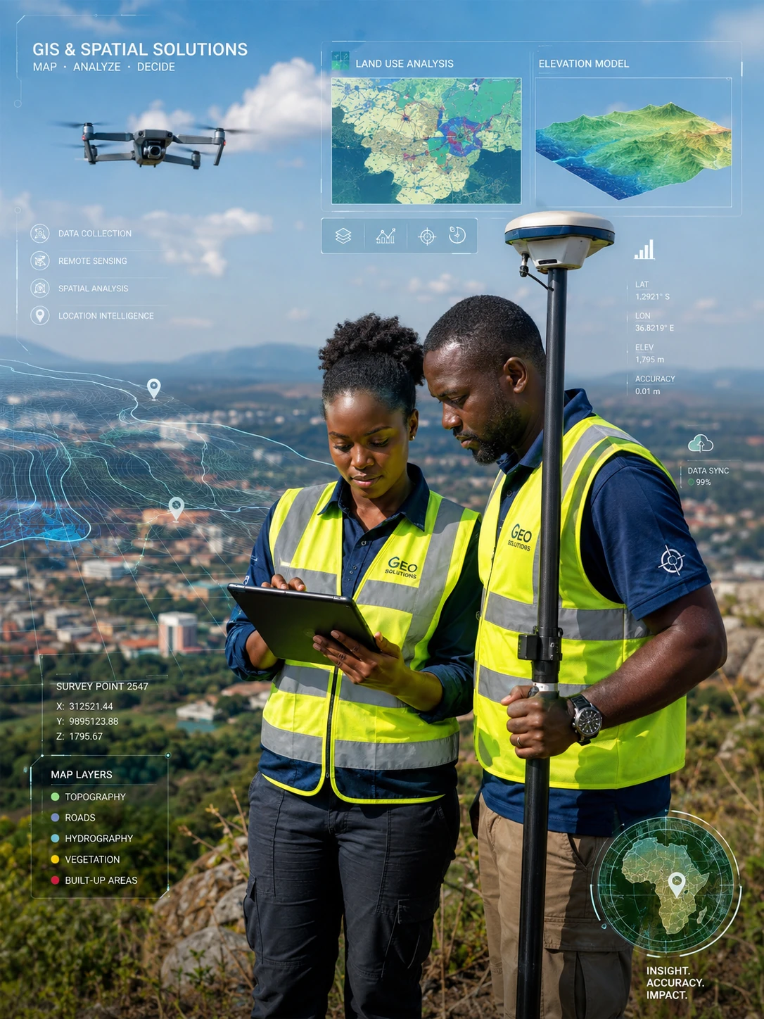
GIS services in Kenya showing geospatial dashboards, digital maps and spatial data analysis

Why Choose Kendigi for GIS Services in Kenya?

Kendigi Media combines geospatial intelligence, GIS technology, software development, data analytics and practical sector experience.

We do not only produce maps. We help organisations build systems that improve planning, monitoring, reporting, transparency and decision-making.

Our approach is based on four key principles:

Clear problem understanding
We begin by understanding your organisation, users, data and the decisions you need to support.

Reliable spatial data
We help clean, structure and organise data so your maps and dashboards are useful and accurate.

Practical digital systems
We build GIS tools, dashboards and WebGIS platforms that your team can actually use.

Capacity building
We support your team with training, documentation and guidance so the solution remains valuable after delivery.
Who We Serve

Our GIS services in Kenya support organisations across several sectors:

Government and county planning
Spatial planning, infrastructure mapping, land use analysis and public service delivery.

NGOs and development organisations
Project mapping, field monitoring, impact reporting and service coverage analysis.

Land and urban planning
Parcel mapping, land information systems, zoning, permitting and planning platforms.

Health and research
Disease mapping, spatial epidemiology, health facility analysis and risk dashboards.

Transport and infrastructure
Road network mapping, linear referencing, asset management and maintenance planning.

Environment and agriculture
Remote sensing, catchment monitoring, land cover analysis and climate-related mapping.

Business and property systems
Location intelligence, market mapping, property dashboards and occupancy systems.

Frequently Asked Questions

Kendigi Media offers GIS services in Kenya including GIS mapping, spatial analysis, WebGIS development, geoportal development, GeoAI, remote sensing, dashboards, data visualisation and GIS training.

GIS services are useful for county governments, NGOs, development organisations, land professionals, health programmes, environmental projects, transport agencies, businesses and research institutions.

GIS mapping creates digital maps and spatial analysis outputs. WebGIS makes those maps and datasets available online through interactive platforms, dashboards and geoportals.

Yes. Kendigi can build custom GIS dashboards that combine maps, charts, KPIs, filters, reports and spatial data to support planning, monitoring and decision-making.

Yes. Kendigi provides remote sensing and earth observation support for land use monitoring, environmental analysis, agriculture, catchment management, climate projects and natural resource mapping.

Yes. Kendigi offers GIS training and capacity building for organisations, technical teams, field officers, planners, researchers and data teams.

The cost depends on the scope, data availability, number of users, technical complexity, platform requirements, dashboards, training and support needed.

You can start by requesting a consultation. Kendigi will review your goals, data, users and desired outputs before recommending the right GIS solution.