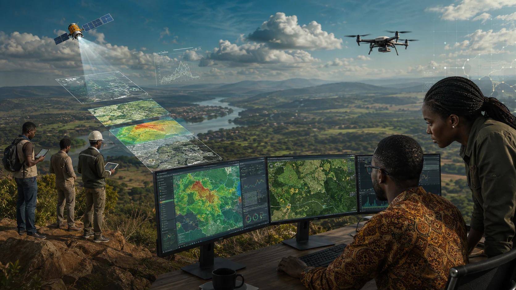
Remote sensing services Kenya help organisations monitor land, vegetation, water, infrastructure, urban growth, environmental change and natural resources using satellite, drone or aerial imagery. At Kendigi Media, we combine remote sensing, GIS and spatial analysis to help organisations understand large areas more efficiently.
Remote sensing is especially useful when field visits are expensive, slow or incomplete. It gives organisations a wider view of what is changing on the ground. This makes remote sensing services Kenya valuable for agriculture, environment, climate, conservation, land use, disaster risk and development projects.
Kenya has strong institutional relevance for remote sensing through the Directorate of Resource Surveys and Remote Sensing, which lists remote sensing services and disseminates data through geoportal and publications.
What We Analyse
Kendigi can support remote sensing and earth observation analysis for:
- Land use and land cover
- Vegetation health
- Environmental change
- Urban growth
- Water bodies and catchments
- Agriculture monitoring
- Natural resource mapping
- Climate and resilience projects
- Risk zones and priority areas
How Remote Sensing Supports Decisions
Remote sensing allows organisations to compare places over time. You can identify areas where vegetation is declining, land use is changing, urban areas are expanding or environmental pressure is increasing.
When combined with GIS dashboards and reports, remote sensing services Kenya can help decision-makers see change clearly and act earlier.
Practical Deliverables
- Satellite imagery analysis
- Land cover maps
- Change detection outputs
- Vegetation index maps
- Environmental monitoring dashboards
- Remote sensing reports
- GIS-ready raster and vector outputs
Who This Service Is For
This service is ideal for environmental organisations, agriculture programmes, county governments, NGOs, climate projects, conservation organisations, land planning teams and natural resource managers.
FAQs
What are remote sensing services Kenya?
Remote sensing services Kenya use satellite, drone or aerial imagery to analyse land, vegetation, water, urban growth, environment and natural resources.
Can remote sensing replace field surveys?
Not completely. Remote sensing supports and reduces fieldwork, but important results should often be validated with field data.
What sectors use remote sensing?
Agriculture, environment, climate, planning, conservation, infrastructure, disaster risk and natural resource management can all use remote sensing.