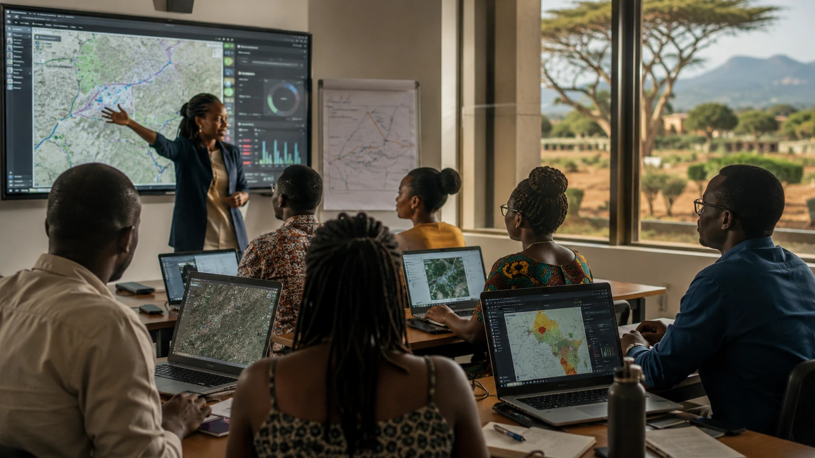
GIS training in Kenya helps professionals and organisations build the skills needed to collect, manage, analyse and visualise location data. At Kendigi Media, we provide practical GIS training and capacity building for teams that want to use geospatial data more confidently.
Our training is designed for real work, not theory alone. Participants learn how GIS supports mapping, planning, monitoring, reporting, field data collection, spatial analysis, remote sensing, dashboards and WebGIS platforms.
There is active demand for GIS training in Kenya, with multiple providers offering GIS, remote sensing and GeoAI training in Nairobi and other locations.
Who Should Attend
Our GIS training in Kenya is suitable for:
- County government teams
- NGO staff
- Monitoring and evaluation teams
- Field officers
- Researchers
- Land and planning professionals
- Environmental officers
- Data officers
- Students and graduates
- Managers who use spatial reports
What Participants Can Learn
Training can be customised around:
- GIS basics
- Data collection
- Map creation
- Spatial analysis
- Remote sensing basics
- WebGIS use
- GIS dashboards
- Field mapping workflows
- Data cleaning and management
- Decision-making with maps
Why Capacity Building Matters
A GIS system is only valuable if people know how to use it. Many organisations invest in maps, dashboards or platforms but fail to build internal skills. Our GIS training in Kenya helps teams understand how to use geospatial tools in daily work.
Capacity building also improves project sustainability. When teams can update data, interpret maps and use dashboards, they get more value from GIS investments.
Custom Training for Organisations
Kendigi can design training around your organisation’s sector, data and goals. This means your team can learn using examples that match their real projects.
Whether your organisation works in planning, health, land, environment, infrastructure, NGOs or research, our GIS training in Kenya can be adapted to your needs.
Need GIS training for your team?
Talk to Kendigi about a customised training programme.
FAQs
What is GIS training in Kenya?
GIS training in Kenya helps participants learn how to collect, manage, analyse and visualise geospatial data.
Can Kendigi train beginners?
Yes. Training can be designed for beginners, intermediate users or technical teams.
Can the training be customised?
Yes. Kendigi can customise GIS training based on your organisation’s sector, data, tools and goals.